Blue Green Global Map – Visualizing Global Network
RJ0600017_19
- Last Update 06/25/2025
- File Size 0.7MB
- # of Slides 2
- File Format PPTX
- Slide Ratio 16:9
- Color
Keywords
About the Product
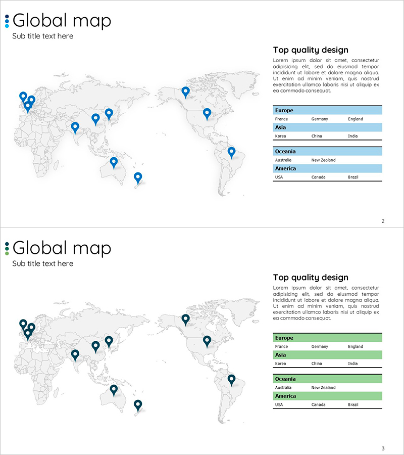
A 2-slide PowerPoint presentation for visualizing global networks and international business presence. The design features a world map with blue pin markers indicating key business locations, complemented by a structured table on the right side listing countries by continent. Slide 1 uses a blue color scheme for the data table, while Slide 2 provides a green variant, allowing flexibility in presentation context. The layout combines geographic visualization with tabular data organization, making it ideal for company introductions, global strategy presentations, and international partnership discussions.
Usage Points
-
Main Usage
Communicate global business presence, international partnerships, and overseas operations at a glance through map-based visualization. The pin markers on the world map clearly indicate business scope, while the structured table organizes countries by continent, building credibility with investors, partners, and stakeholders.
-
How to Use
Insert as a global network or business scope slide in the company profile section, or use as a supporting visual in international strategy presentations. Customize pin locations and country names to match your actual business operations for immediate presentation deployment.
-
Recommended For
Multinational corporations, international trading companies, organizations with overseas branches, and global service providers. Ideal for investor relations pitches, partner meetings, employee onboarding presentations, and corporate overview decks emphasizing international reach.
-
Slide Structure
2-slide set: Slide 1 features a blue-toned data table (Europe, Asia, Oceania, America with 3 countries each); Slide 2 mirrors the layout with a green-toned table. Each slide contains a title area, world map with 10 pin markers, and a right-aligned table section (continent names + 3-column country data), providing 3 editable text areas per slide.
Related Products
-

Setting a Target Country Strategy – Insights for Global Markets
#Company Introduction #Marketing Plan and Strategy #Diagram
-

Target Area Network Analysis – Insights into the Global Market
#Company Introduction #Market and Competitor Analysis #Diagram
-

Global Target Market Analysis Table – Visualizing Market Insights
#Company Introduction #Market and Competitor Analysis #Diagram
-

Two-country Comparison Chart - Market Analysis and Global Business
#Company Introduction #Product/Service Introduction #Market and Competitor Analysis
