Simple Design Trend Wide PPT Map
RJ0200059_12
- Last Update 04/15/2025
- File Size 0.6MB
- # of Slides 2
- File Format PPTX
- Slide Ratio 16:9
- Color
Keywords
- #Content-Based Slides
- #Design-Based Slides
- #Market and Competitor Analysis
- #Marketing Plan and Strategy
- #Other
- #Market Analysis
- #Target Market Strategy
- #Map
- #16:9
- #world map PowerPoint slide
- #global network presentation
- #international market analysis slide
- #competitive analysis map
- #geographic data visualization
About the Product
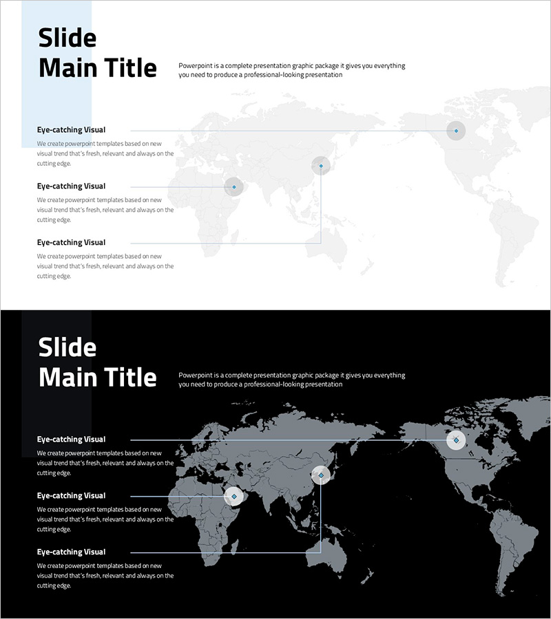
A 2-slide PowerPoint presentation featuring world maps for international market analysis and global network visualization. Includes both light blue and dark black background versions to suit different presentation contexts. Each slide displays a world map with three positioned point markers and corresponding text description areas, enabling clear communication of regional strategies, competitive landscapes, and market expansion plans. Delivered in 16:9 widescreen PPTX format, fully editable in all modern PowerPoint versions for immediate use in business presentations.
Usage Points
-
Main Usage
Communicate international market expansion strategies, competitive landscape analysis, and global partnership networks through geographic visualization. Point markers on the world map enable stakeholders to quickly identify key markets, regional offices, and strategic partners across continents.
-
How to Use
Enter region names, company information, and numerical data into the text boxes on each slide. Adjust point marker positions as needed to match your specific markets or locations. Light version suits bright, modern presentations; dark version works for premium corporate settings. Map background is fixed, requiring no additional editing for immediate deployment.
-
Recommended For
Global strategy presentations, international market reports, cross-border partnership proposals, and investor pitch decks. Ideal for executive briefings, investor relations, and international stakeholder communications where geographic context strengthens strategic messaging.
-
Slide Structure
Each slide contains one title area, one world map background, and three text description boxes positioned around the map. Three point markers are pre-placed on the map with adjacent label areas for regional identification and data annotation.
Related Products
-

Automobile Market Export Volume Visualization Slide – Market Analysis and Strategy
#Market and Competitor Analysis #Marketing Plan and Strategy #Diagram
-

Curved Theme Purple Map Template – Market Analysis and Strategy
#Market and Competitor Analysis #Marketing Plan and Strategy #Other
-

Analysis of Eco-Farming Agriculture Distribution by Region in the United States
#Market and Competitor Analysis #Marketing Plan and Strategy #Other
-

Purple Curved Theme Map Template for Market and Competitor Analysis
#Market and Competitor Analysis #Marketing Plan and Strategy #Other
