Target Country Analysis Table by Continent – Market and Competitor Analysis
RM0200008_8
- Last Update 02/03/2025
- File Size 1.4MB
- # of Slides 2
- File Format PPTX
- Slide Ratio 16:9
- Color
Keywords
- #Content-Based Slides
- #Design-Based Slides
- #Company Introduction
- #Market and Competitor Analysis
- #Diagram
- #Other
- #Global Network
- #Target Market
- #Table
- #Map
- #16:9
- #global map PowerPoint slide
- #continent country analysis presentation
- #world map marking template
- #market analysis by region
- #target country visualization deck
About the Product
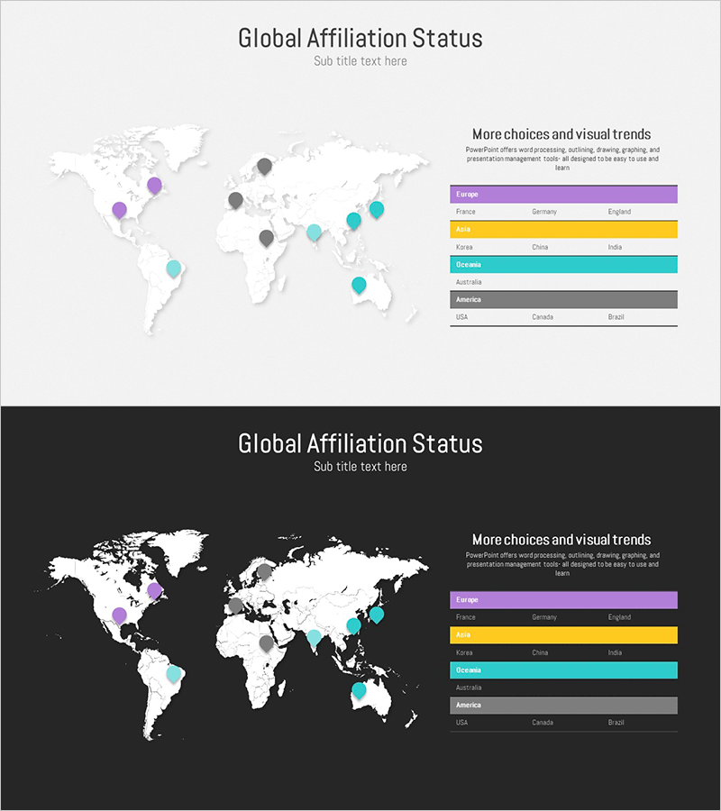
A PowerPoint slide featuring a world map with target countries marked by continent using distinct color coding. This presentation template includes two layout versions: a light background map and a dark background map, each designed to display regional country lists in table format. Purple, yellow, and cyan markers differentiate regions, while the right side lists region names and included countries, enabling clear visualization of market presence and competitive distribution. Ideal for international business presentations, global strategy discussions, investor pitches, and cross-border partnership negotiations where geographic market positioning needs to be communicated effectively.
Usage Points
-
Main Usage
Visualize global business hubs, market entry countries, and competitor distribution on a world map to clearly communicate international business strategy. Help investors, partners, and stakeholders understand company's global positioning and market expansion roadmap through intuitive geographic representation.
-
How to Use
Customize marker colors on the map to distinguish regions, then input country names in the right-side table. Use the light background version for standard meeting rooms and online presentations; choose the dark background for dimly lit venues and large presentation halls for optimal visibility.
-
Recommended For
Global strategy presentations, new market entry reports, investor relations materials, international partnership negotiations, cross-border marketing plans, multinational company profiles, and geographic market expansion discussions where regional distribution and market presence need clear visualization.
-
Slide Structure
Two-slide layout with light background map on slide one and dark background map on slide two. Each slide features a world map on the left with continent-specific markers (purple, yellow, cyan, gray), and a two-column table on the right listing region names and 3-6 included countries per region.
Related Products
-

Presentation Template Visualizing Target Market Partnership Status
#Company Introduction #Market and Competitor Analysis #Diagram
-

Global Network Affiliation Status – Market Trend Analysis
#Company Introduction #Market and Competitor Analysis #Diagram
-

Target Market Analysis by Region – Global Marketing Strategy
#Company Introduction #Market and Competitor Analysis #Diagram
-

Global Regional Market Performance Analysis - Providing Business Insight
#Company Introduction #Market and Competitor Analysis #Diagram
