Country-by-country Distribution Map – Global Network
RJ0300021_18
- Last Update 04/23/2025
- File Size 5.9MB
- # of Slides 2
- File Format PPTX
- Slide Ratio 16:9
- Color
Keywords
- #Content-Based Slides
- #Design-Based Slides
- #Company Introduction
- #Market and Competitor Analysis
- #Other
- #Global Network
- #Target Market
- #Map
- #16:9
- #global map PowerPoint slide
- #country distribution map presentation
- #global network visualization
- #geographic market analysis slide
- #international business PPT template
About the Product
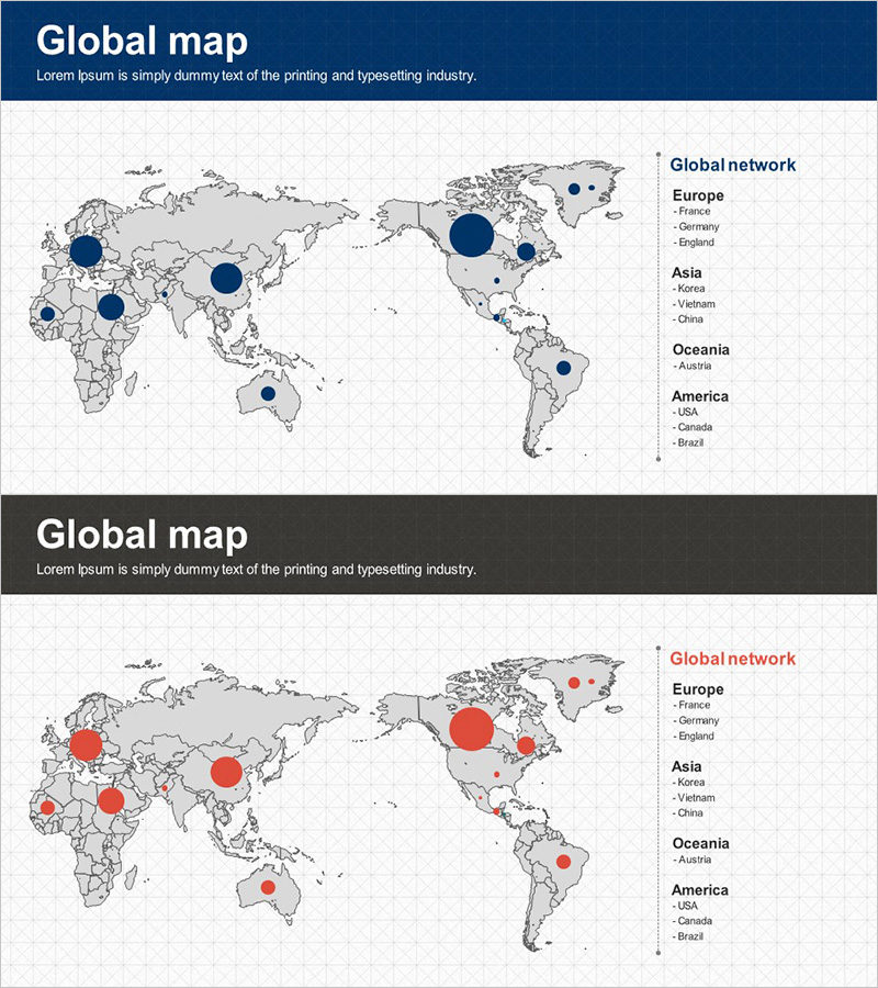
A 2-slide PowerPoint presentation visualizing global network and country-by-country distribution using interactive map markers. The first slide features a dark blue header with a gray world map background, displaying hierarchical geographic presence through large and small circular markers in navy blue. The second slide maintains the identical map structure while applying red and orange circular markers for emphasis and contrast. The right-side legend organizes countries by four continents—Europe, Asia, Oceania, and America—enabling immediate use in investor presentations and partner pitches. Optimized for 16:9 widescreen format, this deck supports modern business presentation environments and data-driven storytelling.
Usage Points
-
Main Usage
Communicate international business expansion, global office locations, and overseas market penetration strategy through intuitive map-based circular markers. Ideal for investor relations, partner collaboration proposals, and executive briefings emphasizing global footprint and market reach.
-
How to Use
Use the first slide (navy blue markers) to present existing geographic presence and the second slide (red markers) to highlight new market entries or priority regions. Edit the right-side legend country names to match your company's actual locations, then deploy immediately in presentations without additional design work.
-
Recommended For
International business strategy presentations, global expansion roadmaps, investor pitch decks, cross-border partnership proposals, multinational company profiles, international market analysis reports, and geographic market segmentation briefings.
-
Slide Structure
2-slide layout: Slide 1 contains dark blue header + gray world map + hierarchical circular markers (navy blue, varied sizes) + right-side legend (4 continents with country lists). Slide 2 replicates the structure with red and orange markers for emphasis. Each slide includes 1 header text field and editable legend text areas for customization.
Related Products
-

Global Network Target Region Analysis – Stylish Design Visualization
#Company Introduction #Market and Competitor Analysis #Other
-

Dawn City Theme Global Map
#Company Introduction #Market and Competitor Analysis #Other
-

Global Target Country Map – Essential Tool for Market Analysis
#Company Introduction #Market and Competitor Analysis #Other
-

Global Network Map – Market Analysis and Opportunity Exploration
#Company Introduction #Market and Competitor Analysis #Other
