Company Location Guide Slide – Ideal for Modern Diagram
RM0300020_25
- Last Update 02/12/2025
- File Size 1.4MB
- # of Slides 2
- File Format PPTX
- Slide Ratio 16:9
- Color
Keywords
- #Content-Based Slides
- #Design-Based Slides
- #Company Introduction
- #Diagram
- #Company Overview
- #Contact Information
- #Table
- #16:9
- #company location guide PPT slide
- #location information PowerPoint design
- #company profile location slide
- #urban skyline diagram PPT
- #how to create a location slide in PowerPoint
About the Product
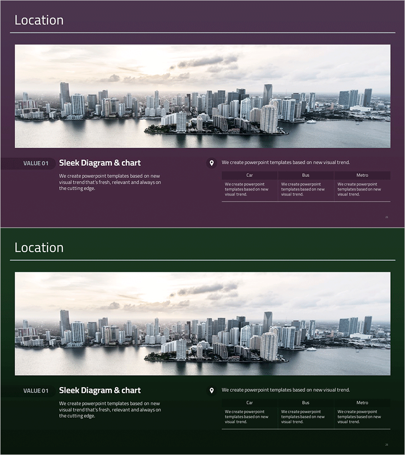
A professional PowerPoint slide designed to showcase your company's geographic location and business presence with visual impact. This 2-slide set features a striking urban skyline background image paired with location information display, making it ideal for company introduction presentations. The layout includes a comparison diagram showing accessibility by different transportation modes—car, bus, and metro—allowing visitors, partners, and investors to quickly understand how to reach your office. Icons and text elements are strategically positioned to deliver clear location guidance. Available in 16:9 widescreen PPTX format, fully editable and ready to customize with your company's specific details.
Usage Points
-
Main Usage
Effectively communicate your company's geographic location and business presence in corporate presentations by visually highlighting office location, accessibility, and transportation options to visitors, partners, and investors.
-
How to Use
Insert this slide into the 'Company Overview' or 'Global Network' section of your company introduction presentation. Customize the text and icons to reflect your actual location details, add specific transportation access times, and adjust colors to match your corporate branding.
-
Recommended For
Company introduction presentations, investor relations (IR) meetings, new office or branch announcements, partnership proposals, recruitment briefings, and any corporate presentation requiring emphasis on location and accessibility.
-
Slide Structure
Two-slide layout: the first slide features a full urban skyline background with title and description text area; the second slide uses the same background with a three-column transportation accessibility diagram displaying car, bus, and metro access information in parallel arrangement.
Related Products
-

Company Profile Summary Table – Emphasizing Professionalism
#Company Introduction #Diagram #Company Overview
-

Nature Industries Company Overview – Sustainability and Innovation
#Company Introduction #Diagram #Company Overview
-

Company Basic Information Summary Profile – A Slide with Professionalism and Trust
#Company Introduction #Diagram #Company Overview
-

Profit and Loss Statement Table – Clear Visualization of Financial Planning
#Company Introduction #Financial Plans and Performance #Diagram
