National Fire Accident Map – Visualizing Global Fire Data
RJ0600044_19
- Last Update 07/02/2025
- File Size 7.1MB
- # of Slides 2
- File Format PPTX
- Slide Ratio 16:9
- Color
Keywords
About the Product
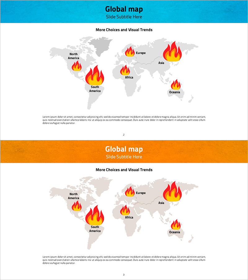
A global map PowerPoint slide that visualizes fire accident data across six regions (North America, South America, Europe, Africa, Asia, and Oceania) at a glance. The slide features a gray world map with red and orange flame icons positioned at each region to intuitively represent fire incident distribution. The two-slide set includes design variations with a teal header on the first slide and an orange header on the second, allowing you to select the version that matches your presentation context. Ample text description space below the map enables you to add regional fire statistics, causes, and response measures. This presentation slide is immediately applicable for corporate risk management reports, disaster analysis briefings, and global network safety assessments.
Usage Points
-
Main Usage
Enables comparative analysis of fire accident incidents and risk levels across regions within a global network, and supports presentation of region-specific response strategies and prevention measures. Used as decision-making evidence in corporate risk management reports, disaster analysis briefings, and global safety policy planning meetings.
-
How to Use
Click on each region's flame icon on the world map to input that region's fire statistics, incident causes, damage scale, and response status in the text area. Select the header color (teal or orange) that matches your presentation document's tone. Add detailed analysis content to the bottom text section if additional explanation is needed.
-
Recommended For
Recommended for corporate safety management teams' risk management reports, insurance and disaster-related organizations' statistical presentations, multinational companies' regional safety policy planning meetings, environmental and disaster-related academic presentations, and government agencies' national disaster briefings.
-
Slide Structure
Two-slide set. Each slide consists of a top header area (title and subtitle), a central world map with six regions marked by flame icons, and a bottom text description area. The first slide features a teal header while the second uses an orange header, allowing flexible selection based on presentation flow.
Related Products
-

Global Map Highlighting Each Continent – Insights into Global Network
#Company Introduction #Other #Global Network
-

Global Map and Learning Icons Slide – Effective Market Analysis
#Company Introduction #Market and Competitor Analysis #Other
-

Global Target Market Map – Visual Insights for Market Analysis
#Company Introduction #Market and Competitor Analysis #Other
-

Global Network and Icon Sign – Connecting Customers and Partners
#Company Introduction #Other #Global Network
