World Map Illustration and Market Analysis – Exploring Global Network Opportunities
RJ0600006_15
- Last Update 06/22/2025
- File Size 2.9MB
- # of Slides 2
- File Format PPTX
- Slide Ratio 16:9
- Color
Keywords
About the Product
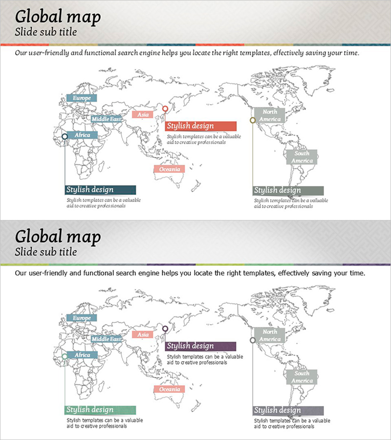
A world map PowerPoint slide designed to visualize global market analysis and regional business opportunities. The slide features five major regions—Europe, Middle East, Africa, Asia, and Americas—marked with color-coded indicators and accompanying text boxes for regional descriptions. The gray-toned world map background contrasts with blue, red, and green accent boxes, creating clear information hierarchy. Provided as a 2-slide set with ample title, subtitle, and description areas for immediate editing. Ideal for international business presentations, market entry strategies, and global network expansion discussions.
Usage Points
-
Main Usage
Designed to present global market conditions, regional business opportunities, and international network structures at a glance. The five major regions (Europe, Middle East, Africa, Asia, Americas) are distinguished by color-coded markers, enabling simultaneous comparison of regional characteristics, strategies, and performance metrics.
-
How to Use
Enter region names, key market information, entry strategies, and performance indicators in the text boxes adjacent to each regional marker. Add overall global strategy overview in the top description area and place key messages in the bottom accent boxes. Color changes can emphasize regional priorities.
-
Recommended For
Ideal for international business managers, overseas sales teams, executive reports, investor presentations, and market entry planning teams. Use in business plans, market analysis reports, global strategy presentations, and IR materials as a regional opportunity analysis slide.
-
Slide Structure
2-slide set with each slide containing one title and subtitle area, one centrally-placed world map, five regional markers, five regional description text boxes, and three to four bottom accent boxes. Ample text input areas facilitate detailed regional information entry.
Related Products
-

Targeting Your Social Media Business – Leveraging Global Networks
#Company Introduction #Marketing Plan and Strategy #Diagram
-

World Map with Regional Markings – Securing Global Networks
#Company Introduction #Other #Global Network
-

Global Network Infrastructure – Diverging Flow Diagram
#Company Introduction #Business Introduction #Diagram
-

Global Map Highlighting Each Continent – Insights into Global Network
#Company Introduction #Other #Global Network
